山
Mount Tamalpais State Park
現地メンバー91人のおすすめ、
地元の人がおすすめする理由
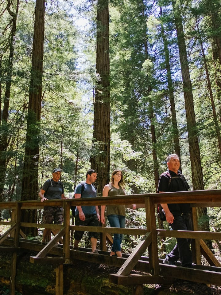
One of the most famous routes within the Marin trail-running community is a run from Mill Valley to the 2,572-foot summit of Mt. Tam’s east peak. It’s one of the few trails in Marin with a lot of climbing on technical, rocky terrain, so it’s not for the fainthearted. Views of Sausalito, Tiburon, Angel Island, Alcatraz, East Bay, and SF make it worth it, though. Start at Old Mill Elementary School and follow Summit Ave. until it merges with Fern Canyon Rd., which becomes Old Railroad Grade. That becomes Fern Creek Trail, which will take you to the peak. Make sure to touch the wooden door of the fire lookout when you reach the top—it’s tradition.

Paddy
January 23, 2017
地元の人からのヒント

Emily
May 9, 2022
There are tons of amazing hiking trails at Mt Tam. Some of which lead to Muir woods and others going to Stinson Beach. You can see Mt Tam from the backyard of the cabin!

Bea
October 2, 2021
One of the best hiking experiences: trail with shades, flexible trail length, drastic changes in elevation (73 floors according to iwatch). Exception views of the beach (Muir Beach) and mount range.

Rebecca
October 26, 2020
Experience several California habitats in one place. I enjoyed the Steep Ravine trail

Diane
October 5, 2014
Fantastic lakes and hiking/biking on one of the most beautiful mountains in California- we call her "The Sleeping Lady" for her silhouette of a woman lying down.

Stephen & Karen
September 13, 2013
The drive to Mt. Tam, either from Hwy 1 from the North or through Mill Valley from the South is incredible. The view from the summit is breathtaking.


現地でも大人気
所在地
3801 Panoramic Highway
Mill Valley, CA